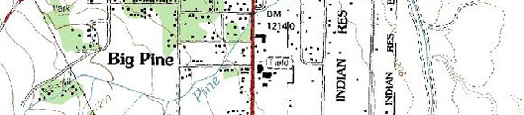
Sage Flat Campground (upper, lower) / Big Pine Area
Campground Name: Sage Flat Campground Area: Big Pine
Administered by:
Elevation: 7,600
Season Length: Opens late April through late October and subject to weather conditions
Contact:
Number of sites: 21
Fee: $16.
RV sites: Yes RV’s up to: 35 feet No Hook-ups: Garbage: containers
Toilets: Vault Water: Yes Picnic tables and fire grills
Nearest town: Big Pine
Nearby facilities: Big Pine
Nearby fishing: Big
Pine Creek, wilderness lakes,
Reservations: No
Additional information: Please note that the dates and prices above are subject to change and reflect 2007 data. If listed, the campground opening dates are approximate due to weather conditions
Directions: From
Highway 385 in Big Pine, turn west (left) on
Campground Name: Upper Sage Flat Campground Area: Big Pine
Administered by:
Elevation: 7,600
Season Length: Opens late April through late October and subject to weather conditions
Contact:
Number of sites: 21
Fee: $16
RV sites: Yes RV’s up to: 35 feet No Hook-ups: Garbage: containers
Toilets: Vault Water: Yes Picnic tables and fire grills
Nearest town: Big Pine
Nearby facilities: Big Pine
Nearby fishing: Big
Pine Creek,
Reservations: No
Additional information: Pets must be kept on a leash. Please note that the dates and prices above are subject to change and reflect 2007 data. If listed, the campground opening dates are approximate due to weather conditions
Directions: From
Highway 385 in Big Pine, turn west (left) on
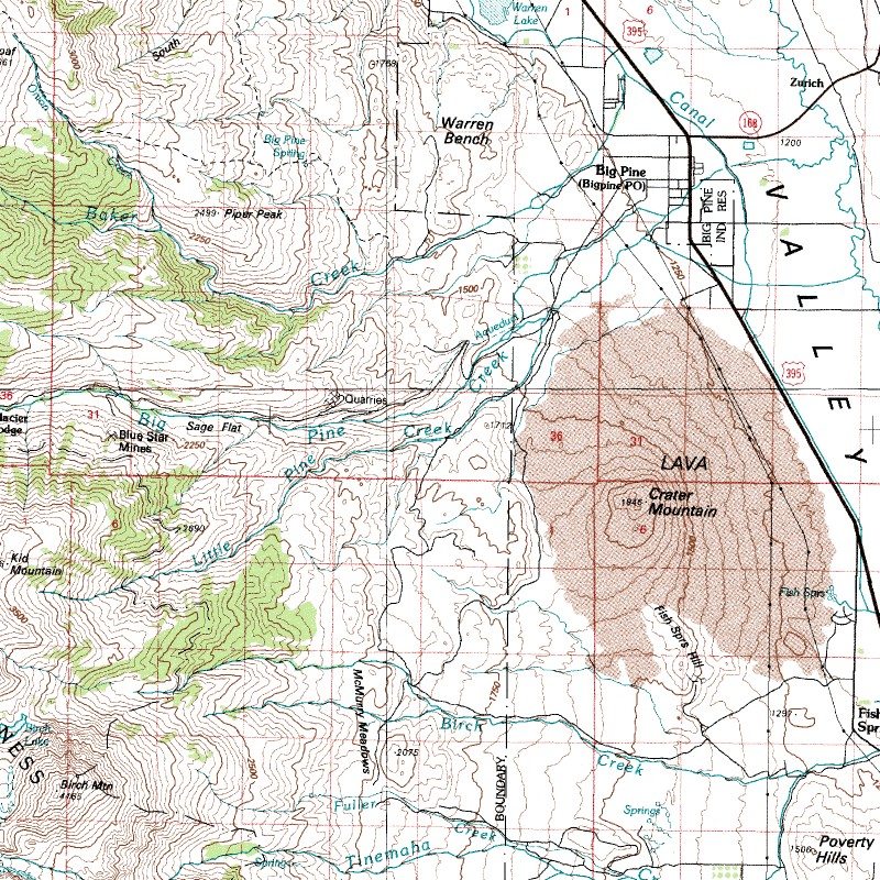
Map courtesy of mytopo.com.
0 TrackBacks
Listed below are links to blogs that reference this entry: Sage Flat Campground (upper, lower) / Big Pine Area.
TrackBack URL for this entry: http://www.guidetohighway395.com/cgi-bin/mt/mt-t.cgi/73

Leave a comment