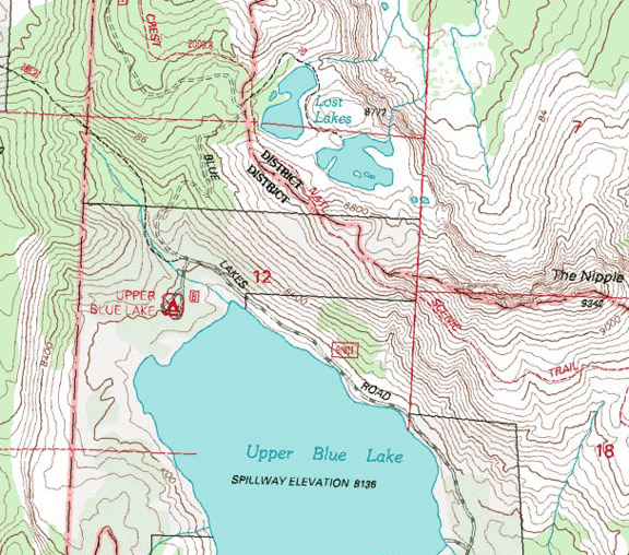
Lost Lakes / Highway 88

| No Comments | No TrackBacks


  Lost Lakes


Lost and Up Blue.jpg


Map courtesy of mytopo.com

Elevation:

Road condition:  

Region:           Area/description: A small pond-sized lake with small fish.

Lake size:     Depth:      Species:

Closest town or supplies:

Contacts:

Facilities: None

Nearest campground: Blue Lakes Campground

Boating: No

Fishing season: General season

Tips:

Favorite lures or bait:

Favorite fly patterns:

Stocking information:

Additional information:

Nearby fishing:

Directions: From Highway 395, turn left on Highway 89 and drive _____miles to Markleeville.  Continue on Highway 89 to the junction with Highway 88 in Woodford, California.  Turn left (west) and drive __ miles to Blue Lakes Road, which is approximately two miles west of the Luther Pass Junction.  Turn left on Blue Lakes Road and drive …


From Highway 395 in Minden, Nevada, turn west on Highway 88 and drive 21 miles to Blue Lakes Road, which is approximately two miles west of the Luther Pass Junction.  Turn left on Blue Lakes Road and ….


No TrackBacks

TrackBack URL: http://www.guidetohighway395.com/cgi-bin/mt/mt-t.cgi/224

Leave a comment

Categories

Pages

OpenID accepted here Learn more about OpenID
Powered by Movable Type 5.04

About this Entry

This page contains a single entry by David Archer published on March 30, 2008 1:48 PM.

Upper Blue Lake / Highway 88 was the previous entry in this blog.

Red Lake / Highway 88 near Carson Pass is the next entry in this blog.

Find recent content on the main index or look in the archives to find all content.