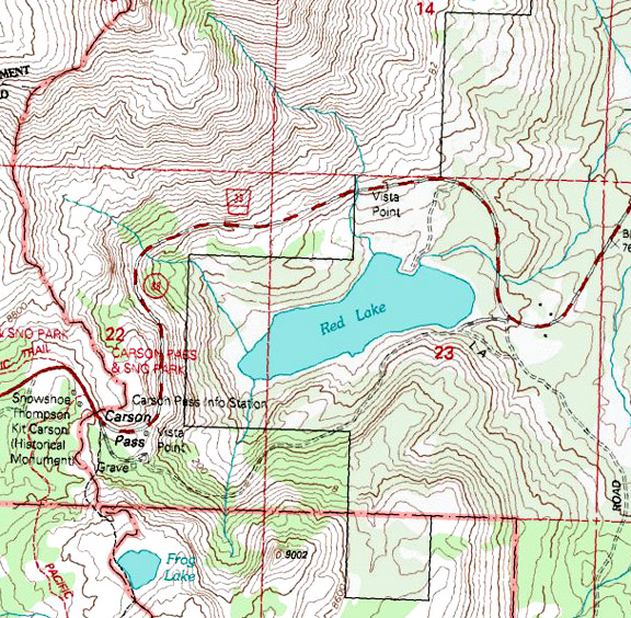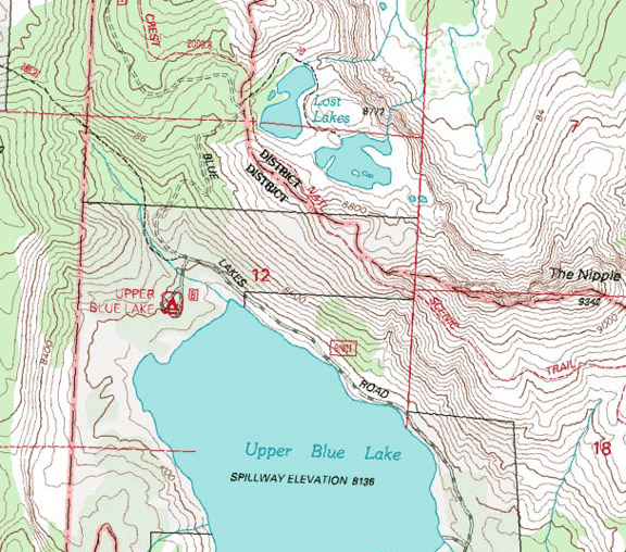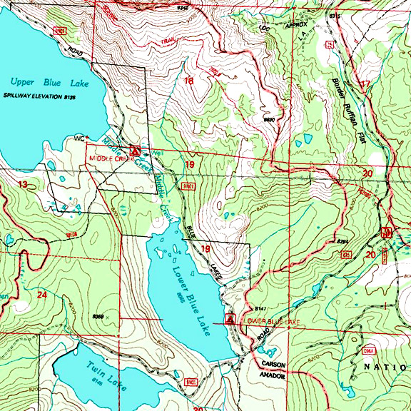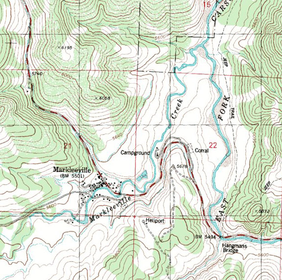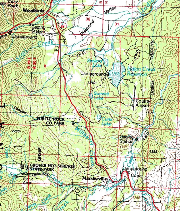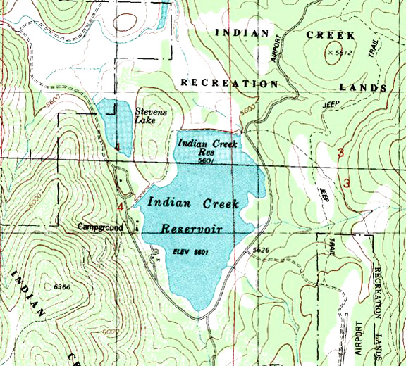
Map courtesy of mytopo.com
Highway 89 Side-Trip West of Topaz Lake on Highway 395
Elevation: 7200
Road condition: Paved
Region: Alpine
County / Carson River Drainage
Area/description:
Lake size: 129 acres Depth:
Species: Large
Lahontan cutthroats reaching 20+ inches
Closest town or
supplies:
Contacts: Alpine
Fly Fishing, 14841 Highway 89, Markleeville,
CA 96120,
(530) 542-0759 0r (530) 694-2562.
Facilities: Portable
toilets
RV campground:
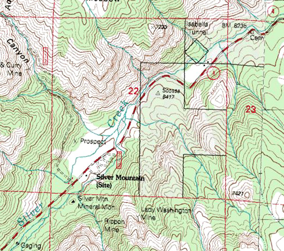
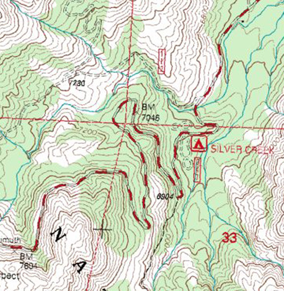
Nearest campground: Silver
Creek (See Highway 4), Markleeville Campground
Boating: Gasoline
motors are prohibited, but car top prams with electric motors are allowed. Most anglers use float tubes and pontoon
kick-boats. Launching is primitive from
the parking lot down an access road to the water.
Fishing season: General
fishing season: Opens last Saturday in April and closes on the last Sunday in
October.
Tips: A quiet
float tube and a black Woolly Bugger is the best way to start. But don’t look for solitude. This little lake can become mighty crowded
with tubers until the blustery conditions of fall arrive.
Fishing restrictions:
(Review recent regulations.) Artificial lures and flies, barbless hooks and
catch-and-release. The lake is only open
Friday through Sunday.
Favorite fly
patterns: Standard stillwater patterns such
as Woolly Buggers, Green Matukas, Denny Rickard’s Seal Buggers and tried-and-true
nymphs that work on Bridgeport Reservoir and Crowley Lake
work just as well here.
Additional
information: The DFG uses the lake as a rearing lake for the endangered
Lahontan Cutthroat trout, which have been hybridized in many lakes in the region. Eggs are gathered and sent to hatcheries at
Hot Creek and Mount Shasta. Many of these hatched fingerlings return to
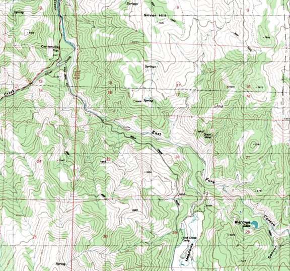
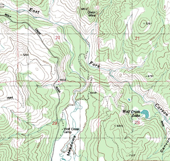
the East Fork Carson River.
Nearby fishing: East
Fork Carson River, Silver Creek
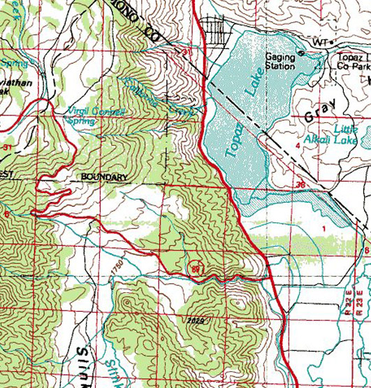
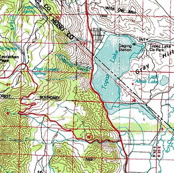
Directions: From Highway 395, turn left at the junction
with Highway 89 and proceed over Monitor
Pass eight miles to an
un-marked dirt access road to the lake parking lot. The lake is approximately four miles from the
junction with Highway 4.