Owens River / Independence Area

| No Comments | No TrackBacks

Name of river: Owens River / Tinnemaha Reservoir to Big Pine

Road condition:   Paved     
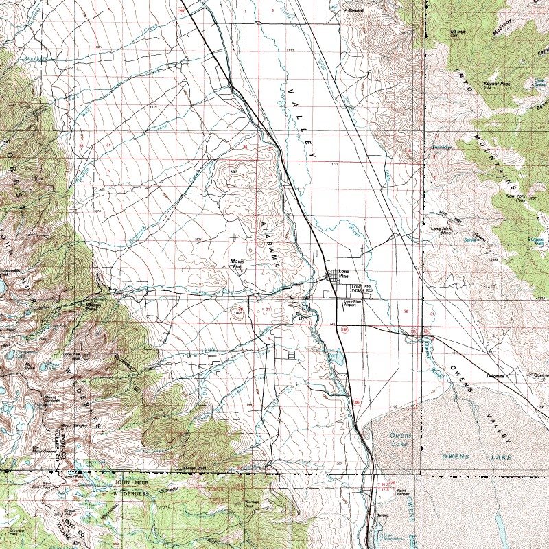
Region: Between Independence and Big Pine

Description: The Owens River in this area is turbid with a sandy bottom; summer temperatures exceed the critical temperature highs in the low 70’s.  Temperatures here can reach to the high 80’s. Although upwards of 4500 trout are planted in the spring and early summer, the water is more habitable for catfish and Largemouth bass.

Species: Stocked Rainbows, catfish, bluegills and Largemouth bass along with some hearty wild trout populations scattered in temperature safe havens.

Closest town or supplies: Independence

Contacts:

Nearest campground:

Fishing season: General       

Tips:

Favorite lures or bait:

Favorite fly patterns:

Stocking information: Early season plants of Rainbow trout

Nearby fishing: Independence Creek, Big Pine Creek

Additional information: The reservoir offers only fair fishing. A trail follows the river from the reservoir downstream.

Directions:  Follow the road signs to Tinnemaha Reservoir, which is about six miles south of Big Pine.


IndependenceMap.jpg

Map Courtesy of mytopo.com.

No TrackBacks

TrackBack URL: http://www.guidetohighway395.com/cgi-bin/mt/mt-t.cgi/7

Leave a comment

Categories

Pages

OpenID accepted here Learn more about OpenID
Powered by Movable Type 5.04

About this Entry

This page contains a single entry by David Archer published on January 20, 2008 7:53 PM.

Independence Creek / Independence Area was the previous entry in this blog.

Big Pine Creek / Big Pine Area is the next entry in this blog.

Find recent content on the main index or look in the archives to find all content.