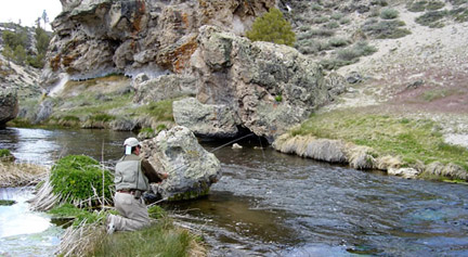
Photo courtesy of David Neal, www.reelmammothadventures.com
Name of river: Owens River / Gorge Section
From Crowley Lake outlet downstream to Pleasant Valley Reservoir,
this section of the Owens River has been
manipulated by hydroelectric dams and a scarcity of water in some parts
of this stretch. Successful litigation
against the City of Los Angeles
has insured minimum flows to 36 cfs, after almost fifty years of little or no
water in the Gorge. Access is limited,
and I will have to report back on this stretch of river. The bottom section of the Gorge may be
accessed from a trail from Pleasant Valley Reservoir. Directions: From Highway
395, drive north of Bishop approximately ten miles. Turn right at Gorge Drive at the bottom of Sherwin
Grade. (This entry will be expanded with
text and photographs during the summer of 2008.
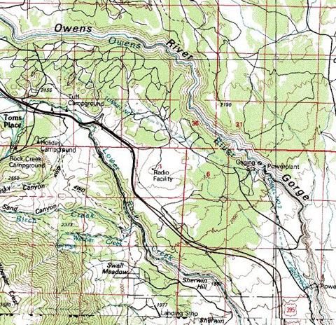
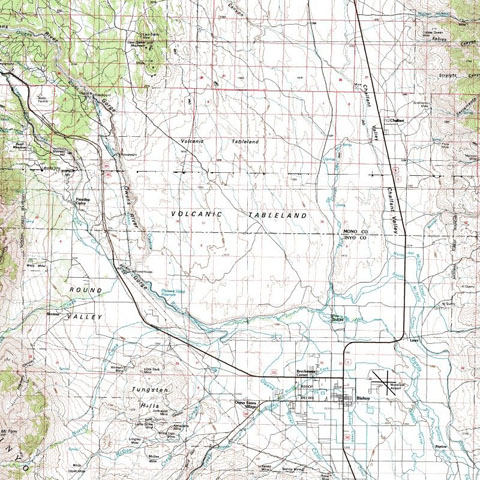
Map courtesy of
mytopo.com.

Leave a comment