Road condition: Paved
Day hike fishing:
Region: Mammoth Lakes Ranger District 760-924-5500
Area/description:
Closest town or
supplies: Tom’s Place,
Contacts: Bureau
of Land Management-Bishop Field Office (760) 872-4881; Crowley Lake Fish Camp
(760) 935-4301; Mammoth Lakes Visitor Bureau (888) 466-2666 / (760)-924-5500;
Rick’s
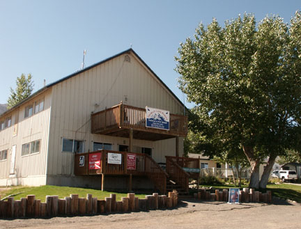
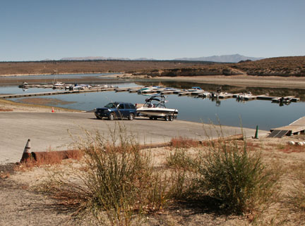
Facilities: Lodge, marina, grocery store, bait and tackle, coin-laundry, coin-showers, RV campground; fish cleaning station
Nearest campground:
Boating: No restrictions
Fishing season:
General Best
times: Opening Day and during the fall, although fly fishing anglers do
well from float tubes all season. Note:
Read the regulations carefully as
Tips: Fly
fishers, in addition to Chironomid patterns and damselfly imitations, should
have a number of streamer patterns in their fly box to imitate the
Favorite lures or
bait: (See Category: Fishing Tips – Best Lures and Bait)
Favorite fly patterns: (See Category: Fishing Tips – Best Fly Patterns and Techniques)
Stocking information: 700,000 plus!
Additional
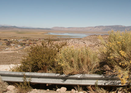
information: With shallow shorelines, abundant insect and plant life, many
tributaries and the
West side of lake: Bait fishing from shore: Whiskey Bay, Beaver Cove and Hilton Bay; trollers work the west shore from Hilton Bay to McGee Bay around the north end of the lake in the Green Banks bay working the old riverbed channel.
North end of lake: Green Banks – popular with float tubers and bait fishermen
East side: Layton Spring and Alligator Point are popular spots for all methods
Bait: Power Bait; night crawlers, salmon eggs
Jigs and large Rapalas and lures representing minnows; popular lures also include Thomas Buoyant, Kastmaster, Panther-Martins, Red Devils and swim baits
Fly anglers generally work the west shoreline from
Spring perch bite from late May through June in weedy, shallow areas during the spawn; use mini-jigs and small worms; no possession or daily limit.
Nearby fishing:
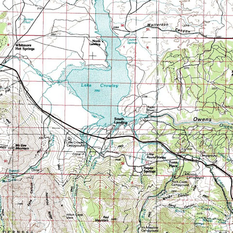
Directions: From
Highway 395 drive 31 miles north of Bishop to the

Leave a comment